Entry 003 — At Least the Island Knows Where I Am
Whisker Cay offers a rather grand welcome. One survivor, an upside-down map and some very thorough surveying put Palmreach’s location discoveries to the test.
PALMREACH — FIELD NOTES, ENTRY 003
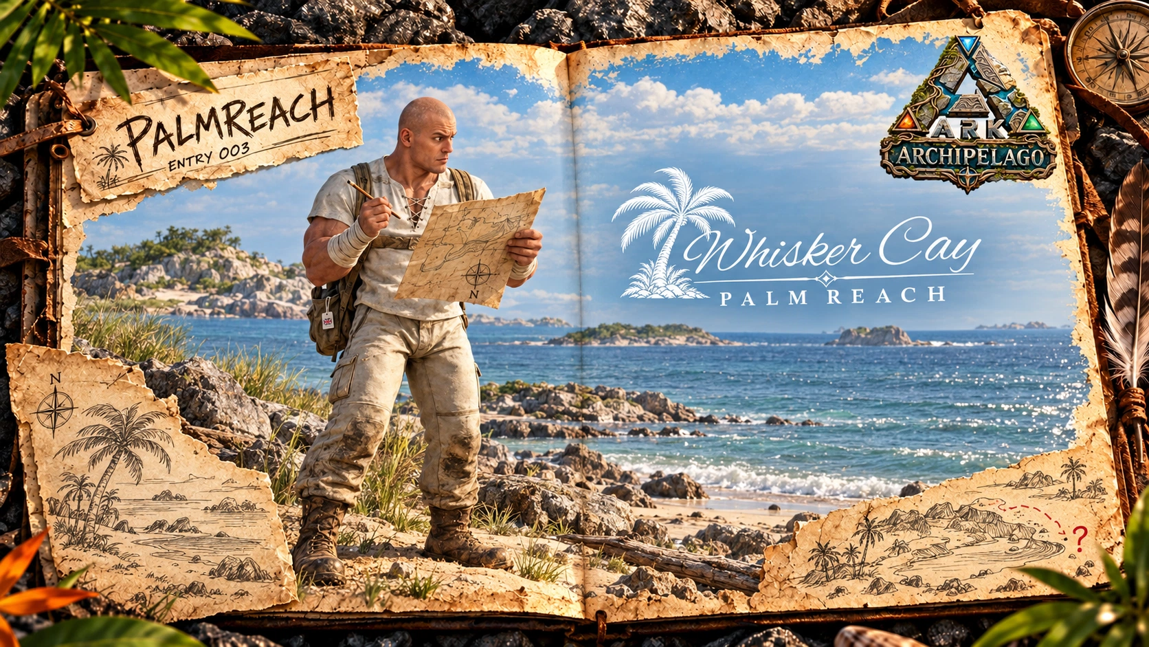
After yesterday’s underground expedition, I decided to spend today somewhere with a visible sky and a floor I could reasonably trust.
Packed my map, a pencil and enough supplies for a short walk.
Then added enough supplies for the walk I would actually have.
A FORMAL INTRODUCTION
Reached a sandy stretch overlooking the water when something rather unexpected happened.
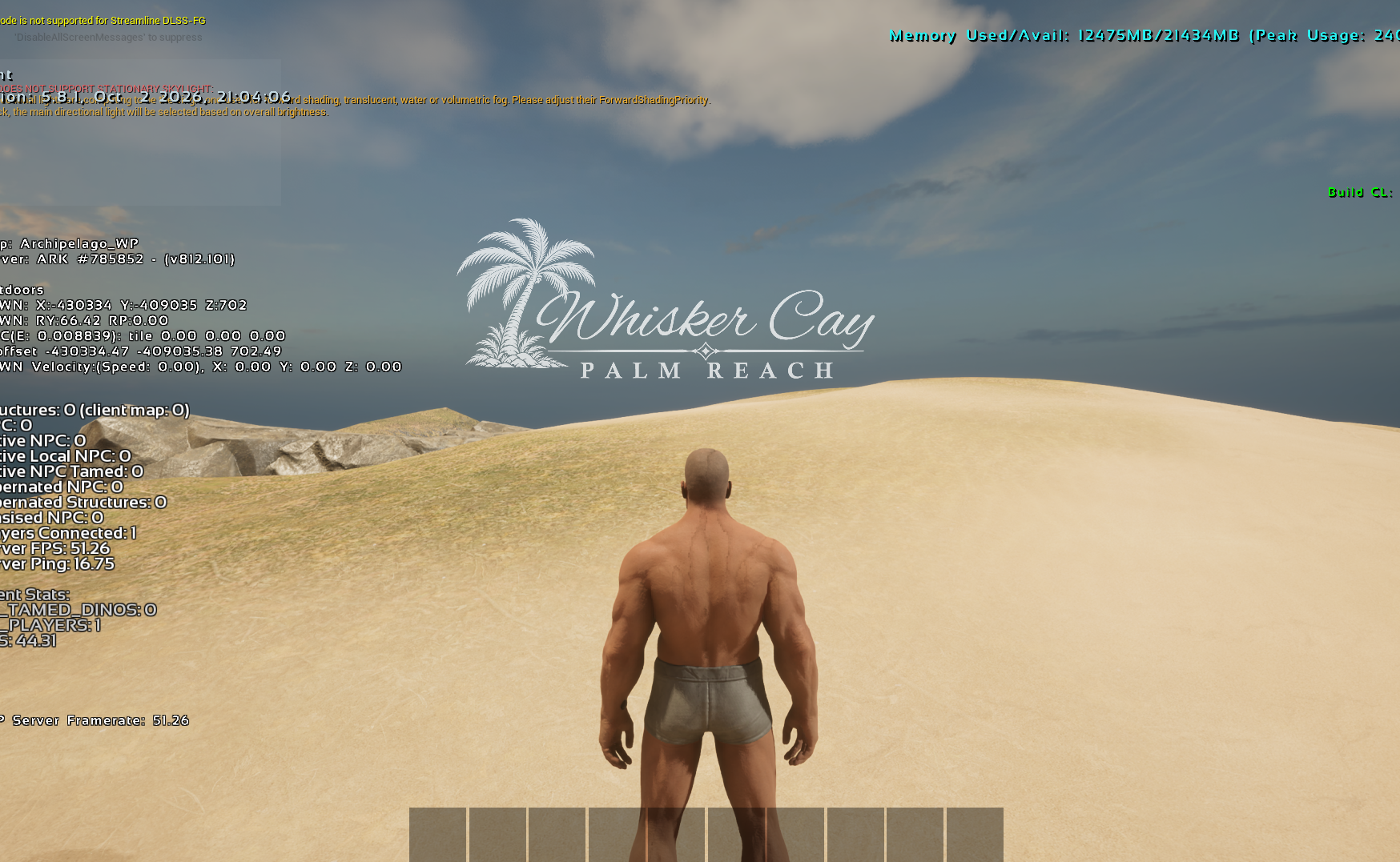
Whisker Cay introduced itself.
Beautiful lettering. A palm tree. A little decorative flourish beneath the name. The sort of welcome you might expect at a respectable holiday destination, shortly before someone offers to carry your bags.
I looked around.
Nobody offered.
Still, it was reassuring to know where I was. Usually, that information becomes available several hours after I have left.
IMPORTANT SURVEYING WORK
Naturally, I needed to investigate.
Walked a little farther along the shore, turned around and retraced my steps.
Waited.
Took another step.
Nothing.
Apparently, Whisker Cay felt one introduction was sufficient.
I respected this for approximately thirty seconds before trying again from a slightly different angle.
There is a fine line between thorough exploration and a man walking backwards and forwards across the same patch of sand.
I crossed it repeatedly.
Eventually stopped to make some notes, partly because the discovery needed recording and partly because I was beginning to wear a path.
PUTTING IT ON THE MAP
Found a suitable spot to sit and carefully added Whisker Cay to my map.
Underlined it.
Added a small drawing of a palm tree, which unfortunately resembles a startled broom.
Then held the map up against the horizon.
Turned it around.
Things improved considerably.
It seems having a place name is only the first stage of navigation. You must also establish where that place sits in relation to everywhere else.
This remains an area of personal development.
For now, I have drawn an arrow marked “back.”
I am hoping its meaning will become obvious when required.
A NAME MAKES A DIFFERENCE
Stayed a little longer than planned.
From the shore, with the water stretching away and the light moving across the sand, Whisker Cay felt worth stopping for.
Yesterday, most of my attention had been occupied by whether the ground intended to support me. Today, I could actually look around.
I found myself thinking about arriving here again. Spotting the shoreline from a distance. Recognising the approach. Knowing what to call it when telling someone where I had been.
Assuming I could explain how to get here, of course.
There is something satisfying about putting a proper name to a place. I had walked into an unfamiliar patch of coastline and, by the time I left, it had become a landmark.
A small piece of Palmreach I might eventually find without assistance.
EVENING REPORT
Returned with more notes than expected and considerably less pencil.
The map now contains one carefully recorded location, several corrections and a palm tree that will require further work.
Tomorrow, I intend to explore farther and see what else introduces itself.
Hopefully somewhere serving tea.
Places discovered: one.
Successful introductions: considerably better than my usual efforts.
Navigation skills: awaiting independent confirmation.
At least the island knows where I am.
— TBB
Gallery